Falkirk Council: Bo'ness flooding issue to be discussed with residents
and live on Freeview channel 276
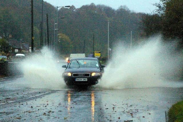
In recent months, Falkirk Council’s flooding team has been assessing the risk of surface water in the town.
As part of this study, consultants AECOM have been constructing a surface water flood model of Bo’ness to improve understanding of flood risk.
Advertisement
Hide AdAdvertisement
Hide AdThe council now says it would like to share the main outcomes of the study to find the best way to manage the surface water flood risk and provide information on the next stages.

Due to the ongoing issues involving Covid-19, the meeting will be held online, via Microsoft Teams at 6pm on May 31.
Anyone wishing to join the meeting should register here

There are approximately 200 residential properties and 70 non-residential properties at risk of flooding in Bo’ness, according to the Forth Estuary Flood Risk Management Plan interim report.
Earlier this year, Falkirk Council agreed that Bo’ness would be the pilot area to firm up plans to tackle ‘hot spots’ across the district that are prone to flooding in heavy rain.
Advertisement
Hide AdAdvertisement
Hide AdIn total, 936 properties across the Falkirk area are believed to be at risk of surface water flooding – caused by heavy rainfall – according to modelling done by the environment agency SEPA, this also includes parts of Grangemouth.
If your property is in an area prone to flooding, you should sign up to SEPA's Floodline. You can receive flood alerts straight to your phone.