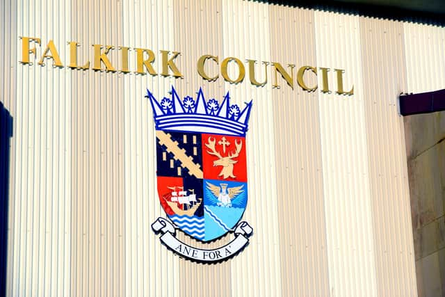
Falkirk Council reject Westminster boundary review plans saying it 'makes no sense'
and live on Freeview channel 276
On Thursday Falkirk Council’s chief executive told the Boundary Commission that the council will not support proposed changes that would see Falkirk and East Falkirk & Linlithgow constituencies disappear.
The commission’s suggestion is to replace them with Forth Valley South, Mid Forth Valley and Linlithgow & Bathgate, in a shake-up that will reduce the number of Scottish constituencies in the UK parliament to 57, each with a similar number of voters.
Advertisement
Hide AdAdvertisement
Hide AdThe new Mid Forth Valley would see parts of Falkirk council area joining Clackmannshire, while Bo’ness and Blackness would be in the proposed Linlithgow & Bathgate constituency.


Not only do none of these constituencies have Falkirk in their name, they also split up council wards and link areas that do have no strong connections.
At a meeting of Falkirk Council on Wednesday SNP councillor Paul Garner said the proposals even split council wards in two – for example, Denny and Dennyloanhead.
“You’d actually think it had been drawn up by someone who didn’t know anything about Falkirk district – surely that can’t be the case? These proposals will further complicate matters for the electors and may discourage them from voting.”
Advertisement
Hide AdAdvertisement
Hide AdIn a motion, put forward by Cllr Garner, members of all parties agreed that they could not support the proposals, agreeing that they “failed to take cognisance of long standing community ties, existing electoral boundaries, transport links and geographical features – namely, the River Forth”.
Thank you for reading this article on our free-to-read website. We're more reliant on your support than ever as the shift in consumer habits brought about by Coronavirus impacts our advertisers.
Please consider purchasing a subscription to our print newspaper to help fund our trusted, fact-checked journalism.
Comment Guidelines
National World encourages reader discussion on our stories. User feedback, insights and back-and-forth exchanges add a rich layer of context to reporting. Please review our Community Guidelines before commenting.
